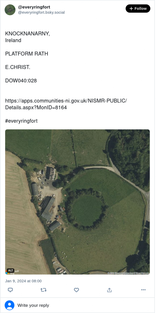
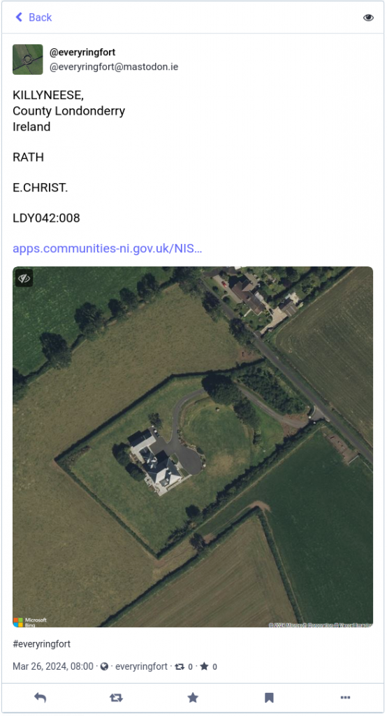
As mentioned in a recent post I have been working on a project of late dealing with ringforts. To mark PiDay I just launched @everyringfort, a bot which celebrates the circles on Ireland’s landscape.
@everyringfort is a (instagram/twitter) bot which is posting satellite images of every ringfort ( well, cashel, dún, ráth and lios) in Ireland, one an hour, it should finish up sometime in August 2022.
You can check it out on Instagram , Twitter, Mastodon and Bluesky:
Ringfort – rath
CARROWNISKA NORTH,
County Clare
Munster
IrelandCL06028
CL058-049—-#everyringfort pic.twitter.com/ZRfKni85Gd
— everyringfort (@everyringfort) March 15, 2019

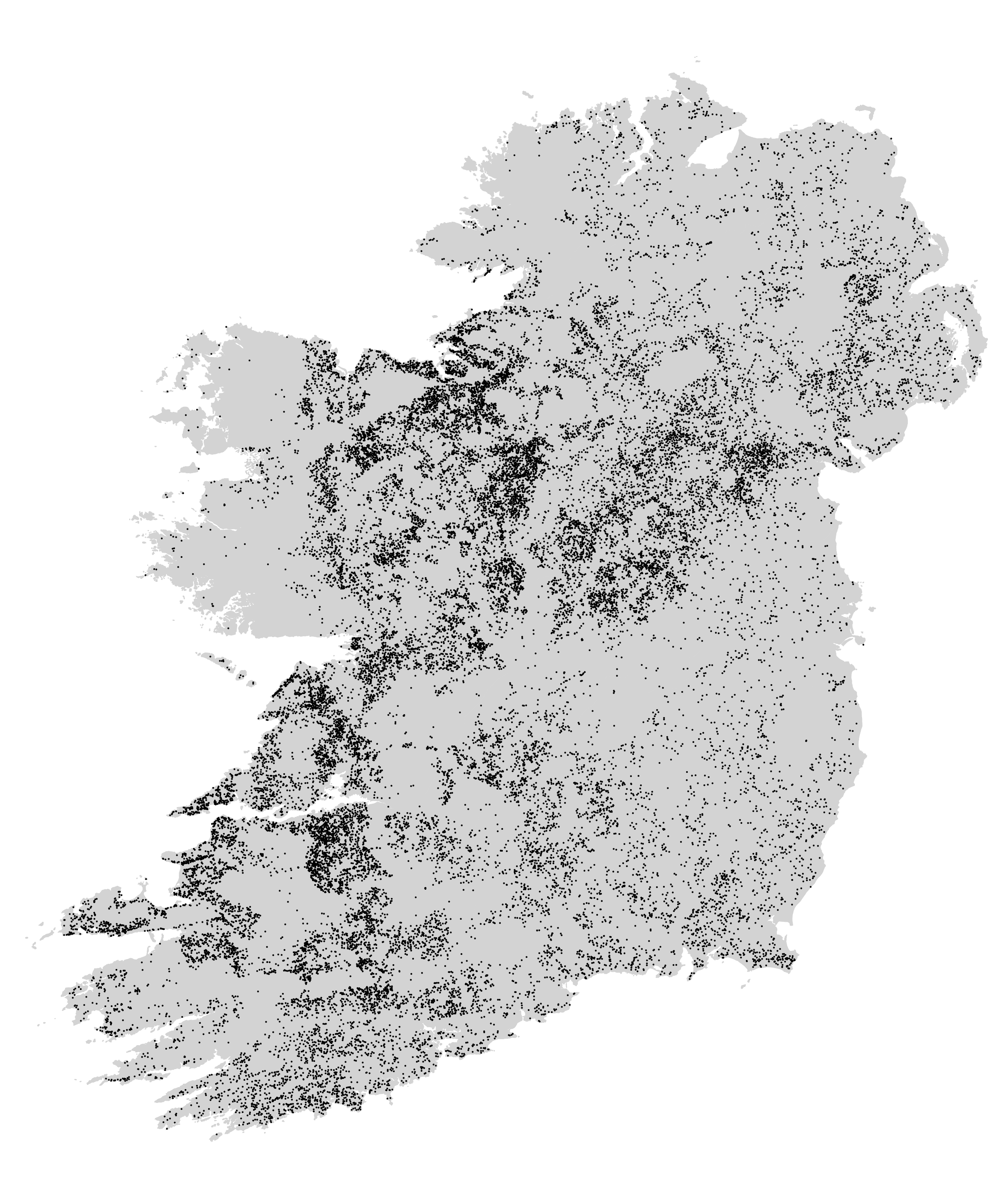
Ringforts are the most common historical field monument in Ireland with an estimated 45,000 examples identified to date, meaning that Ireland has a ringfort for every 2km² !
Here are all the sites mapped.
The data for this project comes from the Archaeological Survey of Ireland’s database of the National Monuments Service Sites and Monuments Record (SMR). This dataset contains 30125 sites categorised as ráth, cashel or ringfort. Of these, 353 entries seem to have incorrect coordinates so I am working with the remaining 29772 sites, posting one site per hour. It will take 1240 days/177 week/3.4 years to get through them all !


This is absolutely magnificent! Genuinely brilliant work at the archaeology/tech interface.
Great project! Thank you!
Fantastic work. Well done
Love this. Well done
You seemly don’t consider Northern Ireland part of Ireland. Am I right?
Yes I love this practical use of automation to carry out a logistical challeng…and I like ring forts too.. the one near home we failed to get into last year is in your database!!
Great stuff
Excellent work – Go n-eirí an t-ádh leat.
This Article was mentioned on infotoday.com
This Article was mentioned on irishcentral.com
This is great. Are you aware of an equivalent dataset for the North of Ireland?
How come I have never seen my Ringfort on here it’s 100 Mts.in diameter at Rathmoy Borrisoleigh Co.Tipperary
My postcode is E41 EP82
This Article was mentioned on brid.gy